November 2026, Vol #46, no #9. Editor: Gerald Nicholls
Anchored at Woody Island.
Niclas Westling
Images not showing? Click here to view the Compass Rose in your browser.
Captain's column
G’day Cruisers
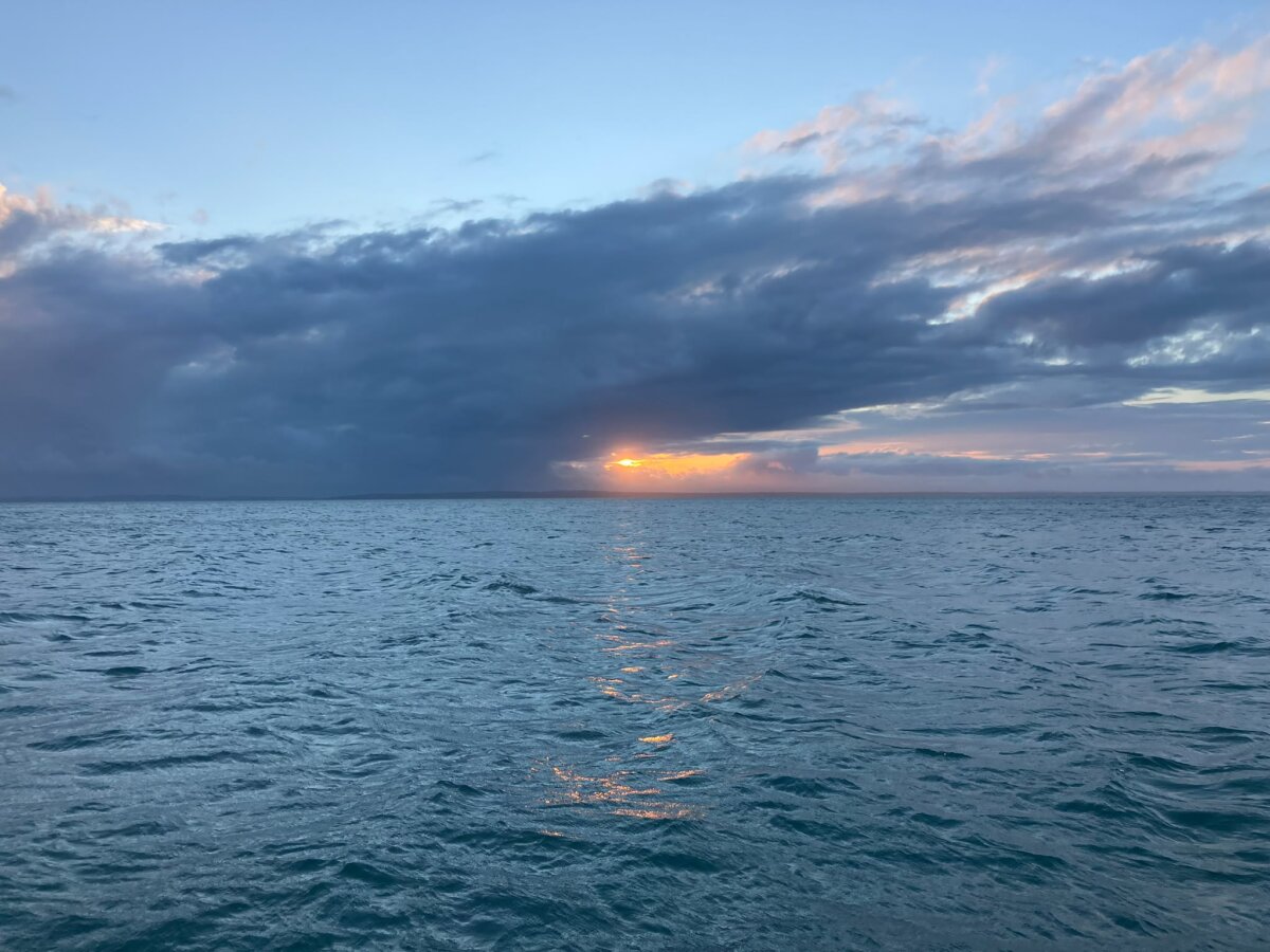
Jenni and I are on our way to Queenstown, New Zealand at the moment, having a couple of weeks on the south island, cycling and then sightseeing with friends. I’m looking out my Qantas window at the Tasman Sea thinking how great it would be to be cruising across on Serenite rather than flying. It looks very calm and peaceful down there, although that’s to be expected given I’m 10,000 metres away from it. I’m sure it would be more demanding than it looks but nevertheless, an experience I’m keen to have.
At our October meeting we heard from Nick Mrdjen from Olectric on all things electrical on boats. It was a very informative discussion with lots of questions asked from the floor and some great practical advice. We covered batteries, alternators, electric engines, charging systems and a whole lot more. I’ve included a couple of photos below, thanks to Jeremy for organizing.
I was lucky enough to be invited to the Platinum lunch celebrating the long-term members of MHYC. I sat with a group including some of our current and past cruisers who have been associated with the club for 30 or more years. It was great to hear about what they got up to both racing and cruising and to see the friendships formed through sailing.
Gavin Randall who sailed out the heads in February on his yacht Viking III is currently back in Australia and has agreed to come and talk to us at our November meeting. Viking III is still in South Africa waiting for the next leg of the trip but Gavin will talk to us about his adventures so far heading up the east coast, across the top of Australia and then across the Indian Ocean. We’ve had a couple of catch-up zoom calls with Gavin along the way but it will be great to hear his stories first-hand. Next meeting is 18th November, BBQ from 6.30pm and then Gavin from 7.30pm. See the event detailed below.
Niclas Westling from Rara has been setting up new systems on board and has written an article for our tech corner piece. He’s been working with Signal K, an open marine data system, and has included some tips and links on how to get started using it and what is possible. I’m planning to install a Cerbo GX on our new boat and am very keen to explore Niclas’ suggestions.
Unfortunately, Rara was hit by lightning shortly after Niclas wrote the article for us. Most of her electronics were damaged and have had to be replaced. I understand that most of this has now been done and they’re back underway heading down the NSW coast, back to Sydney.
Our next event is our Cruising Division Christmas party which, this year, will be held at Jeremy and Kristen’s on Saturday 12th December. If you’d like to attend please use the link in the event listing later in the newsletter or go to Events – Middle Harbour Yacht Club Cruising Division. Looking forward to seeing you all and sharing some Christmas spirit.
Cheers
Gerald
Past Events
Olectric Presentation - Nick Mrdjen
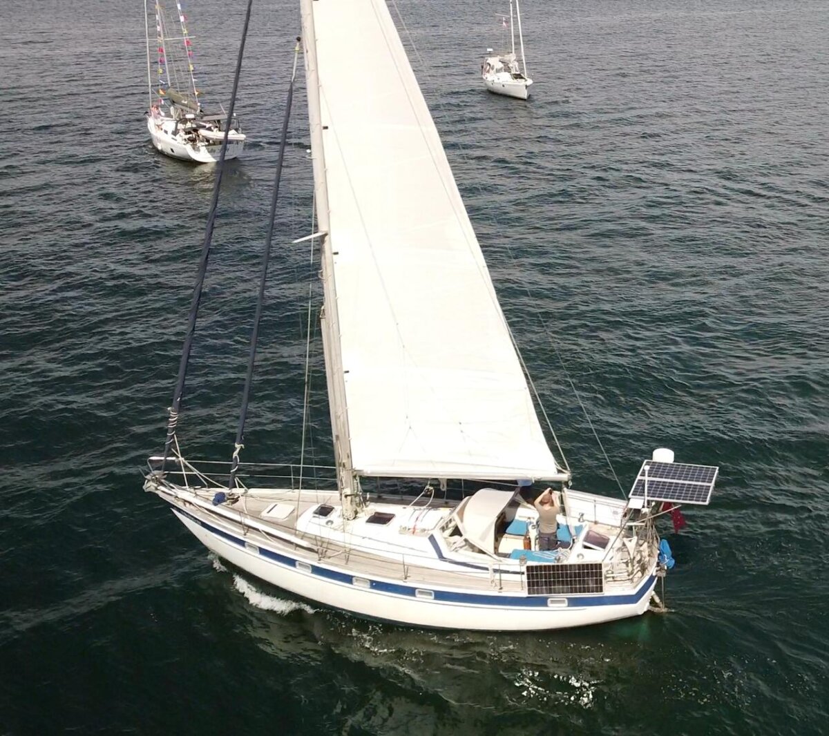
At our October meeting Nick Mrdjen from Olectric Systems talked to us about all things electrical on boats. Olectric are well known for their great work on boats around the harbour and beyond. They've worked on everything from the super maxis down to my humble Serenite.
Nick was very generous with his time, happy to answer questions from the group.
November Cruising Meeting
Gavin Randall from Viking III will talk to us at our November meeting abouts his exploits so far, up the east coast of Australia, across the top through the Timor Sea, to the Cocos and Keeling Islands, into the Indian Ocean and beyond.
He has since crossed the Mozambique channel and landed in South Africa.
Viking III is waiting patiently in Richards Bay Sth. Africa while Gavin has been away doing land-based activities.
Our last presentation from Gavin was very entertaining, he tells a great story and has plenty of tales to tell.
Tech Corner - Niclas Westling - Signal K
A custom Dashboard for your boat
If you would like a dashboard that:
can show any electronic information available on your boat
be displayed on any device that has a web browser on it (no new apps required)
doesn't (necessary) rely on the internet
can be used away from the boat (if the boat is connected to internet)
is based on free opensource software
can be configured just the way you like it, without deep technical knowledge
then you should read on!
The layout of Rara's dashboard at time of writing this article
The key components
A boat network of connected devices
This is your NMEA 0183 (the older version) or NMEA 2000 (the newer version), or if you're on Raymarine SeaTalk or SeaTalkNg or a combination of any of those. On Rara we have Seatalk, SeatalkNg and a couple of NMEA 2000 devices connected to the SeatalkNg network.
The boat network connects e.g. your wind instruments, speed log, AIS, GPS, and chart plotter
A Data Hub
A central system to store data gathered from instruments, sensors etc on your boat. This is typically a small (inexpensive) computer, e.g. a Raspberry Pi (~AUD100 for a Pi 4) or an old laptop, ideally powered by your 12V house battery. If your boat has a Victron CerboGX, that can also be used, and that is exactly what I did on Rara. There are also other (relatively expensive) and less flexible solutions such as the "Predictwind DataHub" for USD300.
The opensource software of choice is called Signal-k https://signalk.org/ and it comes with a very active community and a vast library of handy plugins to make it do what you want.
For the CerboGX, there's an option to activate the slightly bigger operating system Venus Large, which includes the Signal-k server, i.e it becomes your data hub.
If you bring your own computer SignalK have free downloads available on the site.
Wifi connection - the CerboGX already has a built in wifi, and most BYO computers would as well.
GPS source - On Rara we have a "GPS USB puck" connected to the Cerbo GX which only costs like $10, but I guess you can use other GPS sources on your network as well.
A connection - boat network to the datahub server
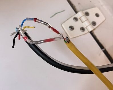
Your boat network needs to be connected to the data hub, so that it gets all it's information. For the CerboGX it has ports for ve.can which looks like a normal ethernet plug, but the other end needed to connect to the SeatalkNG network and it required two expensive cables (one Victron canbus to NMEA2000 and one NMEA2000 to SeatalkNg) - no good! Instead I found an instruction on the internet on how to do this, where you cut the ends of an existing cat 5 ethernet cable and one spare SeatalkNg spur cable and connect two of the wires. Since I had these cables already lying around it didn't cost me anything.
If you're setting it up without a Cerbo GX there are a number of other solutions to buy on the internet for connecting your boat network to a computer.
How to set it up
Once you installed the Signal-k server you need to install and configure a few plugins, which you do from a webpage you connect to from any computer or tablet on your local boat wifi (or ethernet). For the Cerbo GX installation the URL was http://venus.local:3000
The Signal-k plugins I recommend to get the dashboard working:
@mxtommy/kip: This is the main dashboard plugin I used. There are others as well if you don't like the look of it.
signalk-tides: Provides local tide information and can be configured as graphical components to put on your dashboard
signalk-derived-data: Used to calculate data which isn't readily available, e.g. Calculated true heading and true ground wind speed/direction.
signalk-venus-plugin: Specific to the CerboGX (or more correctly the Venus OS running on the Cerbo GX). Gives access to all the Victron energy functions such as Solar panel charging, state of charge of batteries, sensors connected etc
The Dashboard plugin Kip, which you open from the signalk browser page, is then configured using drag-and-drop type operations where you decide exactly what information you want on the page.
If all of this seems to hard, or you want to do it quicker, use your favourite AI agent. I used ChatGPT/Codex to help me out as I didn't have patience to read all the signal k and kip documentation.
What I like about it
When late at night in the bunk being able to cast an eye on the phone to check how much wind we have and from what direction, as well as the depth under the boat.
Since we're often on autopilot these days I may not stand behind the wheel where the instruments and chart plotter are mounted (especially when it's raining) but still get a view of the key data on the phone or a tablet. We still obviously look forward regularly to check for obstacles and other boats...
I can configure it with info that is not available on my B&G chart plotter
Not having to buy an expensive new Raymarine or B&G MFD (Multi Function Display) to achieve some of the above.
The Navionics app on the phone/tablet can connect to the signal-k server and then provides AIS targets and current depth (assuming those sources are available on the data hub)
This is definitely work in progress and will evolve further in the future.
If you found this useful and also want to hear how I configured an automatic logbook, Anchor Alarm and chart plotter functions leave a comment and maybe I do a follow up. Also, if you want some help in setting up a system of your own give me a shout (nwestling@gmail.com).
Niclas on S/V Rara
Cruising Quiz October by
Phil Darling
1. You add in-mast furling to your vessel. Have you increased or decreased the stability of your yacht?
2. What is the advantage of nylon over other materials for an anchor line?
3. What is the difference between deviation, variation and leeway?
4. In which order do you apply deviation, variation and leeway to get from a true course to the compass course for the helmsman to steer?
5. You are taking a 3-point compass fix using:
• A nearby wharf
• A prominent building about 3 miles off
• A distant mountain top about 15 miles off
In which order should you take these? Which one should you be most concerned about getting an absolutely accurate bearing?
6. You are chartering in Europe and see on the chart the following annotation on the Compass Rose: 5 15’ W 2000 (12’E). What does this mean?
7. What is the difference between a ketch and a yawl?
8. In navigation, what is the GHA and when is it used?
9. What else influences the height of a tide apart from the sun and moon’s gravitational pull?
10. How long ie what distance is the Sydney to Hobart race?
Send your photos to Mike McEvoy to enter into the 2026 Cruising Division Competition. Each Month the best photo received will be published and, in the running, to win a new Mystery Prize at the end of 2026.
Send your best photos (as a JPG / JPEG) - Remember … to be in the running to win the prize you must be in it. Hint …. Give your favourite photo a Title and Place taken. Submit your photos to mmcevoy@bigpond.net.au
Good Shooting …!! Mike.
Twilight racing
Bloodhound
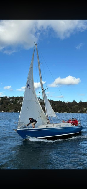
Photo shows Bloodhound on a reach in the twilight race in upper middle harbour
I was one of the first competitors to compete in the inaugural race with my then yacht Stella Claire (a Stella Folkboat) .
This event was the beginning of twilight racing in Australia, and is still going strong.
In the early days we had up to 80 starters, nowadays we have a regular cohort of 25 yachts every Monday night during twilight.
Alex Comino
Cruising Quiz - Answers
1. You have decreased the stability by adding weight up high (technically - above the centre of lateral stability)
2. Nylon stretches, reducing snubbing as the boat sheers.
3. Variation is the difference between Magnetic and True bearings – it is caused by the fact that the earth’s magnetic north pole is in northern Canada rather than at the geographic north pole. Deviation is the effect of the vessel’s own magnetic field and it’s interaction with the earth’s magnetic field, and varies depending on vessel heading. Leeway is the effect of the prevailing weather and the fact that a sailing (or power) vessel does not track exactly as pointed, but slides away to leeward slightly.
4. You should apply Variation first (to get from True to Magnetic course), Deviation second (to get from Magnetic to Compass course) and Leeway last when converting a true (chart) course to a helmsman’s course to steer.
5. You should take the bearing changing least first, and the one changing most last. Thus take the distant mountain top first, the prominent building second and the nearby wharf last. In terms of accuracy – be most concerned about the most distant bearing as minor errors can have a large impact on your position.
6. Magnetic variation 5 15’ West in 2000, annual change 12’ East (ie decreasing by 12’ annually).
7. Both are two masted vessels with a smaller mizzen mast aft of the main mast. In a ketch the mizzen is forward of the rudder post, in a yawl the mizzen is aft of the rudder post.
8. GHA is the Greenwich Hour Angle, measure in degrees westward from the prime meridian (for practical purposes, the meridian through Greenwich near London in the UK). It is used in celestial navigation.
9. Meteorological effects such as barometric pressure and wind.
10. Approximately 630 nautical miles, and best wishes for all those entering this year.
Opinions expressed in the Compass Rose are those of the contributors, and do not necessarily reflect opinions of either Middle Harbour Yacht Club or the Cruising Division